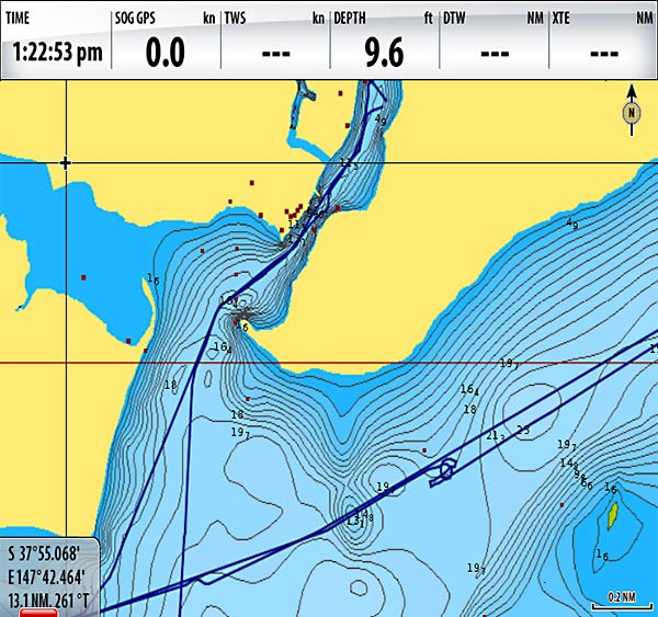


While the previous Fish N Chip’ offered high resolution Bathymetry for offshore fishing, the New version combines that offshore data set with many new HD inshore bathymetric charts. Shallow Water Vegetation and Marsh Areas.Offshore Navaids, Rocks, Wrecks, Tides and Currents.


Use with Navionics Charts to locate near-shore/offshore structure and fishing hot spots. Download Navionics PC App from the web store at ALL NEW Fish'N Chip High-Definition Fishing Detail Includes new data, inshore high-res bathymetry, vegetation areas and more for US waters (rivers not included). Free with the purchase of any HotMaps Premium, Hotmaps Platinum, Gold or Platinum+ chart. For more information visit our webstore at Navionics PC App - Enjoy the same functionality and value of our award winning mobile apps on your PC Anytime, Anywhere. FREE UNLIMITED UPDATES FOR A YEAR FROM TIME OF REGISTRATION Navionics Freshest Data - When you buy Hotmaps Premium, Hotmaps Platinum, Fish'N Chip, Gold or Platinum+ products you are eligible for unlimited updates of the 2D Gold component for a period of one year - this means you always have access to our Freshest Data.


 0 kommentar(er)
